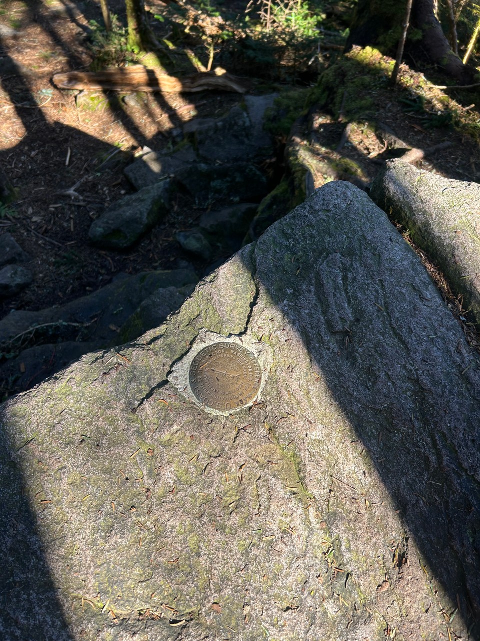
Mount Rogers - Virginia
— Hiking, High Point — 1 min read
This was a stop in a multi-day hike in the highlands of southwest Virginia.
My day started by getting a shuttle from Damascus to Massie Gap in the Grayson Highlands.
I started southbound on the Appalachian Trail for a few miles until I reach the Mount Rogers summit spur trail which is about 1/2 mile long.
The climb to the summit has a lot of running water in the trail from a recent rain event but the trail was not in bad shape.
There is basically no view at the summit, it is a completely forested summit.
I passed two people leaving the summit and was told I was now the highest person in the state of Virginia (geographically anyway).
With no view, there really wasn't a reason to linger. I also had another few miles left of hiking that I wanted to get done before darkness so I headed back to the AT to continue on my hike.