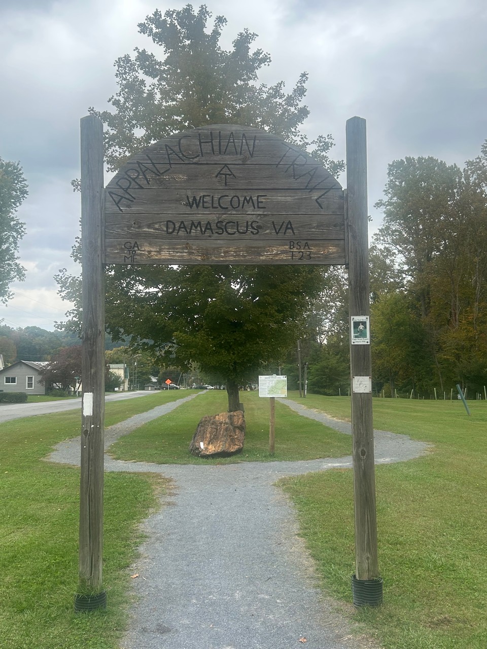
Appalachian Trail - Massie Gap to Damascus, VA
Tuesday - October 13, 2026
Drove into Damascus this morning. It is about 4 1/2 hours from where I am staying in Richmond. Robert picked me up just about 1PM and he drove me up to Grayson Highlands State Park. We arrived about 2PM.
This hike is going to be a bit odd milagewise because some of this is on the AT proper and some is on the official detour. This part of Virginia is still recovering from hurricane Helene.
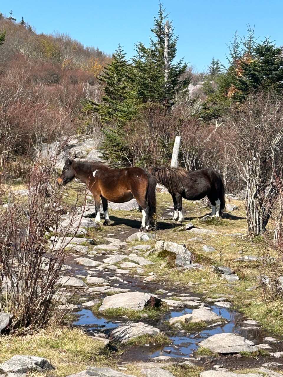
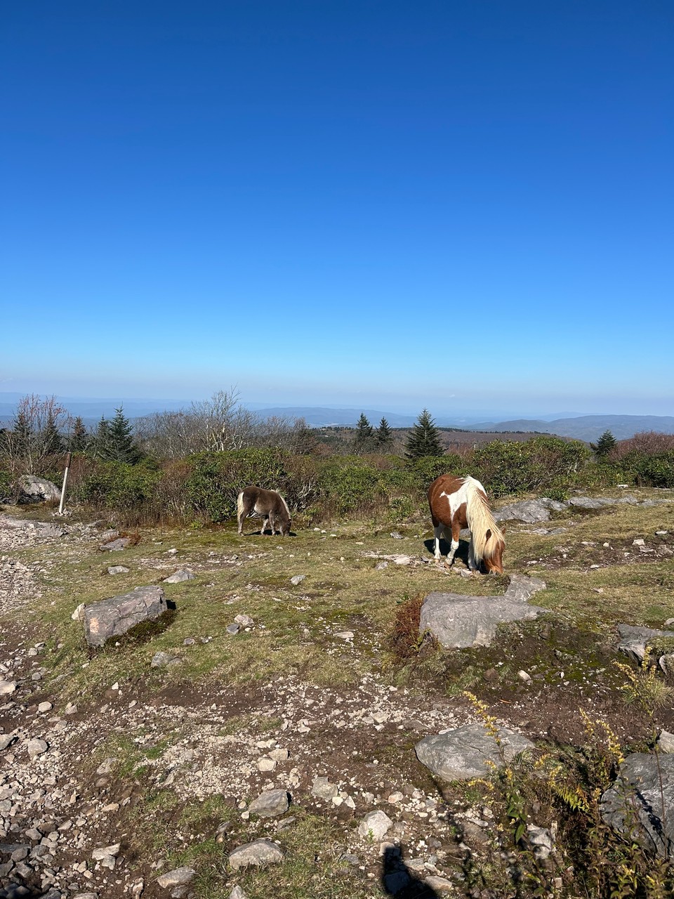
Grayson Highlands is famous for their ponies - but I didn't see any in the park. I did see two different pairs just outside of the park.
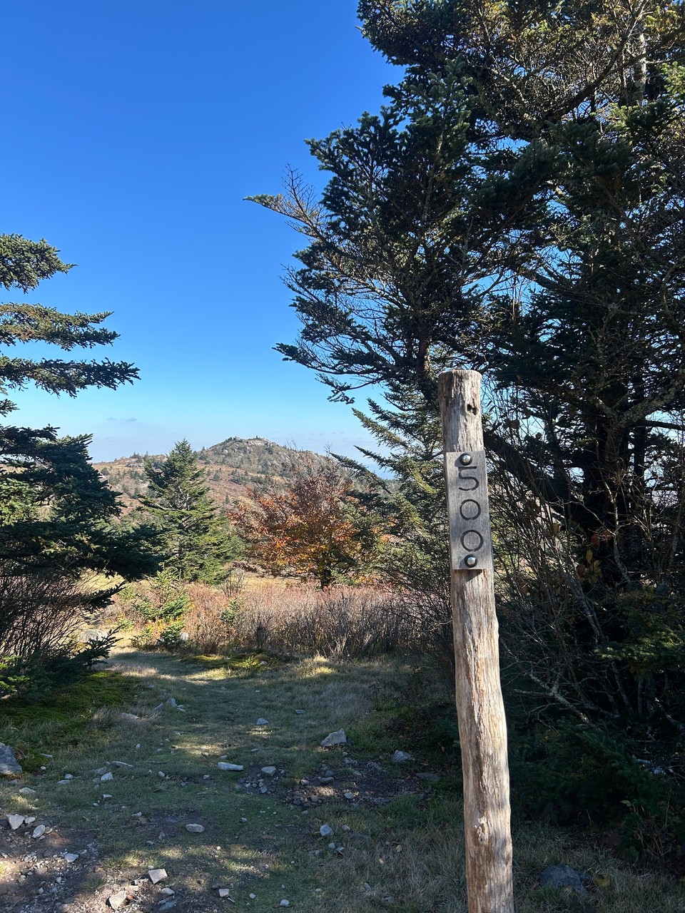
I passed the 500 mile marker for the AT -- Since I have done a fair distance north of here it isn't my 500 - but still a cool marker to see.
I summitted Mount Rogers about 4:30.
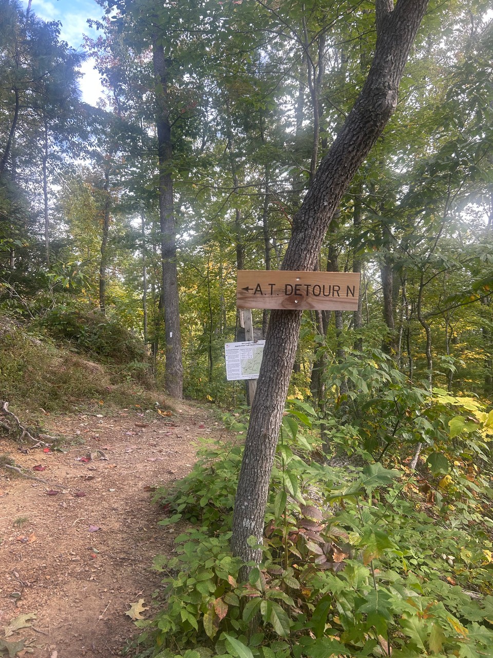
There is a shelter just a bit back from the Mount Rogers summit trail, but I decided to keep heading south under the mistaken impression there were tent spots around the trail junction where the AT detour started. There were not.
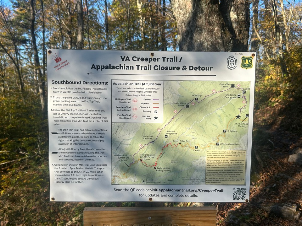
The next marked campsite was almost 2 miles away and I knew darkness was coming. Luckily I found a small campsite right off the trail about .6 mi past the junction.
I was in my tent by 7:30 -- and it was pitch black by that point.
The weather was excellent all day and it was a beautify day for a hike.
Start day one at Massie Gap - MM 502.8 End day one at a campsite off of the Mount Rogers Trail. -- MM 497.3 + 0.6
6.1 miles today.
Wednesday - October 14, 2026
I broke camp about 7:30 and headed down the Mount Rodgers Trail (AT Detour) toward VA 603.
From there I headed up the Flat Top Trail until it reached the Iron Mountain Trail.
Iron Mountain Trail will go all the way into Damascus, but that is not the route I will be taking.
I went past the Cherry Tree and Straight Branch Shelters. My small reach goal was to reach a small campsite about two miles past Straight Branch. I easily made it there and decided to try and reach the Sandy Flats Campgound which is about 5 miles past the Straight Branch Shelter. I was another mile or two down the trail and decided it was a bit too much for one day. I found a nice campsite at what I believe is Shaw Gap where a few trails come together.
I took a fairly leasurely dinner and turned out my light at about 8 PM.
Start day two at campsite off of Mount Rogers Trail - MM 19.7 (of the detour) End day three at a campsite off of the Iron Mountain Trail. -- MM 6.4 (of the detour)
13.3 miles today
Thursday - October 15, 2026
There was some light rain overnight - but by dawn that had all passed.
I broke camp at first light and was moving by 7:15.
Iron Mountain Trail is a typical southern Appalachian trail with lots of ups and downs along with lots of roots and rocks.
It is a mixed use trail so horses, mountain bikes, and as it turns out dirt bikes are allowed. So in a first for me I came across three guys riding dirt bikes up the trail. They were super nice, stopped their bikes and we chatted for a bit.
I hit the end of the detour a few miles from town. The signs with the town distance were for the Iron Mountain trail, but about 1 mile before it gets to town the detour was over and I was back on the AT proper. I had about four miles from where the detour ended to the library. I was under the impression that it would dump me out of the Virginia Creeper Trail sooner than it did. Only the last 1 3/4 miles were on the Creeper Trail including the town walk.
As soon as I got into town I grabbed a Gatorade from the convience store - it was very needed.
I got back to my truck about 1:30
Start day three at a campsite off of the Iron Mountain Trail. -- MM 6.4 (of the detour) End day two at Damasus Library -- MM 470.4 (of the AT)
10.4 miles today